On one sunny day in February, as I was looking for a hiking trail near Munich. I decided to narrow down the search to my favorite region in Bavaria: the Berchtesgaden National Park.
My criteria for the hike were simple:
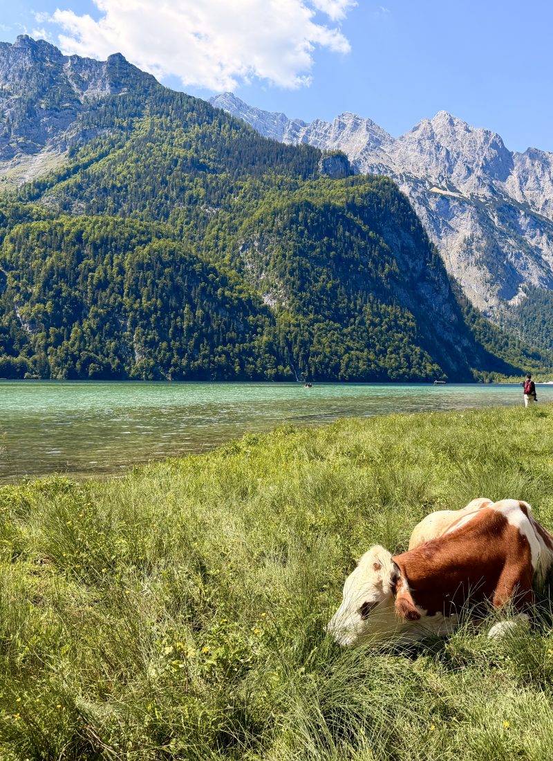
– it should include a viewpoint of the Königssee (the most beautiful lake in Germany, in my opinion! )
– and it has to be a lesser-known trail, aka a hidden gem.
This is how I found the scenic Aussichtspunkt Archenkanzel hike above the Königssee.
In this Hiking Guide, I gathered all the information about the Archenkanzel Viewpoint Hike for you.
*Spoiler Alert: This view will await you once you reach the viewpoint.

Aussichtspunkt Archenkanzel Spectacular Views of the Königssee


Disclosure: The Always Wanderer is supported by its readers. When you buy something using my links, I may earn a small commission at no additional cost to you. As an Amazon Associate I earn from qualifying purchases.
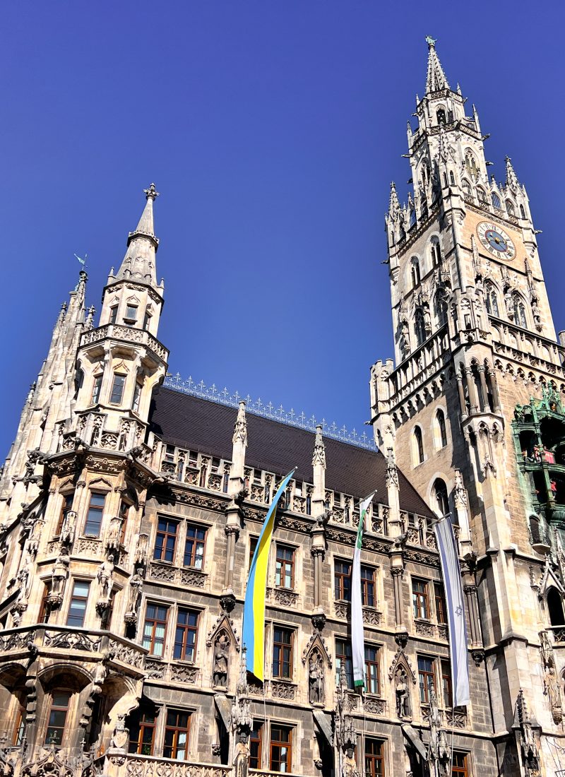
Visiting Munich? Check out my perfect 5 Days in Munich Itinerary – with all the best places included!
Archenkanzel Hike Summary
Difficulty: Easy/Moderate
Starting Point: Tourist Centre, Schönau am Königssee, Germany
Duration: Ascent 3 hours, Descent 1.5-2 hours
Length: 15 KM
Minimum-Maximum Elevation: 615m – 1.427m
Elevation Gain: ca. 800m
Places to Eat and Drink: Grünsteinhütte, Kührointalm
When to Hike: Year Round (We Visited in February)
Suitable for Kids/Dogs: Yes
Hiking Essentials for the Bavarian Alps

Clothing:
– Layered clothing
– Prepare an extra shirt to wear for the descent
– Quick drying shirt (I usually wear a merino wool shirt)
– Functional shorts
– Baseball cap (a must-have in the mountains)
Footwear:
– I always hike in Adidas Terrex Hiking Shoes
– Merino Hiking Socks
What to Pack:
– A ca. 20-liter Hiking Backpack is big enough
– Trekking Poles for long hikes
– Water, snacks, cash
How to get to the Archenkanzel Trailhead
In this hiking guide, our trail starts in Schönau am Königssee. The two bigger cities nearby are Salzburg and Munich. You can travel to Schönau am Königssee by public transportation or by car.
From Munich to Schönau:
by car, it takes approximately 1h:50mins.
I recommend going by car because public transportation would take 4-5 hours with many stops in between.
From Salzburg to Schönau:
by car, it takes around 45 mins.
Navigation:
input the Tourist Information Centre.
Parking:
There is a huge parking lot next to the Tourist Info Centre, you can`t miss it. Normally, there is enough parking space for everyone. However, during the summertime, it is worth arriving early.
It costs 8 EUR to park your car there for the day.
Map of the Archenkanzel Viewpoint Trail
Point “A”: Parking Lot and Trail Start next to the Tourist Centre in Schönau am Königssee.
Point “B”: Grünsteinhütte (1st option to grab something to eat/drink)
Point “C”: Kührointalm (2nd option to grab something to eat/drink)
Point “D”: Archenkanzel Viewpoint
In this hiking guide, the return route will lead us the same way back to the starting point. (Point “A”)
Starting Point of the Archenkanzel Hike
Our hike starts just a few meters away from the Tourist Information Centre, in Schönau am Königssee.
The exact starting point of the hike is next to the Königsseer Hof Hotel. You will find the yellow signs showing Grünstein and Kührointalm. Start the hike right there.

Start the hike next to the Königsseer Hof Hotel Follow the signs towards Grünstein/Kührointalm


Within a few minutes, you will reach a bridge. You need to cross it and continue walking with a slight elevation, crossing meadows and a few houses as you leave the town.
Archenkanzel Viewpoint Hike – Route Breakdown
1. Schönau am Königssee – Grünsteinhütte
(0:00-1:30h)
In this section, follow the yellow signs toward “Grünstein”.
During the first part of the Archenkanzel Hike, we leave the town of Schönau and we are heading upwards.
We will pass by the last houses, meadows, and also a run-down bobsleigh track (Rodelbahn). The Rodelbahn was destroyed by heavy rain in 2021, so it`s closed.
When you reach the Rodelbahn, you`ll see a path to your right heading into the forest. You need to go that way.
From this point, the hike will be a bit challenging due to the steep elevation – we go from 610m to 1210m.
The first part of the Archenkanzel hike is steep Leaving Schönau am Königssee


Stairs and a steep upward direction are how I can best describe this first part. This is the most challenging part of the hike. The road is easy to follow as this is the only road leading upwards. There will be yellow signs regularly, during this section, following the signs showing “Grünstein”.
Stairs are making the hike easier Taking a rest on a bench


After around 1,5 hours, we reach a junction. To our right, we can see the Grünstein-Hütte. We take the path on our left, heading to Kührointalm.
2. Grünsteinhütte Junction- Kührointalm (1:30h-2:30h)
Reaching the Grünsteinhütte junction, follow the yellow signs towards “Kührointalm”.
The second section of the Archenkanzel Viewpoint Hike is much easier – it will feel like a walk in the park compared to the first part. After around 45 minutes, you`ll reach a dirt road which is mostly used by bikers. Continue the hike on this road upwards and enjoy the views of the most iconic hill of the Berchtesgaden region: the Watzmann.
From the Grünsteinhütte junction, it took us 1 hour to reach the Kührointalm.
This section is like a nice walk in the forest Reaching the Kührointalm


3. Kührointalm – Archenkanzel Viewpoint (2:30h-3:00)
At the Kührointalm, we turn left to continue our hike, now we follow the signs towards “Archenkanzel”.
The elevation will not rise anymore, and the hike will be easy, leading us through a meadow and then a forest area.
During October-April, you might find snow here.
After around half an hour, we arrive at our final destination: the Aussichtspunkt Archenkanzel.
There are some places to sit at the viewpoint and you can enjoy your “Gipfelbier” if you have any with you. Cheers!
At this part, you have the option to continue the hike towards St. Bartholomä, the beautiful lakeside chapel at the Königssee. If you decide to do it, you can take a boat from St. Bartholomä to Königssee to go back to your car. Please always check the timetable of the ferry in advance and plan accordingly – the last ferry leaves St. Bartholomä at around 4 pm.

The Archenkanzel Viewpoint – the scenery does not disappoint
The Best Time to Do the Archenkanzel Hike
In my opinion, the Archenkanzel Hike is doable throughout the year. We did this hike during February when there was little snow.
However, the best months to visit are between May and October, when there is no snow, and when the mountain huts are open.
The mountain huts do not operate year-round. When we did the hike (February), the Grünsteinhütte was open, however, the Kührointalm was closed.
Archenkanzel Hike with a Dog
This hike is a dog-friendly hike with no dangerous sections. I hiked to the Archenkanzel with my 7-year-old Labrador. He enjoyed the walk and got less tired than me!
If you are also hiking with a dog, bring enough water for your little friend, as during this hike, there are no rivers or any other freshwater source where your pet could drink.
Daily Budget
Parking: 8 EUR at the Tourist Information Centre for a day ticket
Meals in the Hütte: 15-25 EUR (during winter, the mountain huts might be closed)
Where to Stay around the Königseee
The Königssee and the Berchtesgaden National Park are among the most popular holiday destinations among domestic visitors. Due to the popularity of the area, hotels are fully booked months in advance.
Best Hotels at Schönau am Königssee:
– Hotel Königssee (right at the lake)
– Explorer Hotel Berchtesgaden (great for hikers)
If you plan to stay at the Königssee, book your accommodation in advance.
Further Places to Visit around the Alps
Towns:
– A medieval town straight out of a fairy tale: Rothenburg ob der Tauber
– Itinerary to the Bavarian Capital: 5 Days in Munich Itinerary
Hiking Routes:
– A Selection of the Best Hikes in Bavaria
– Best Mountain Lake: Schrecksee, Allgäu
– Hike and Sleep in a Mountain Hut: Stöhrhaus, Berchtesgaden
– Secret Viewpoint: Plansee Viewpoint, Austria
– Closest to Munich: Jochberg + Herzogstand at the Walchensee
– Overall Best: Zittauer Hütte Hike, Austria (a bit further away from Munich)
Check out my travel guides and do not miss the best places nearby! 🙂

Leave a Reply